06 / FIELD OPERATIONS

A field workflow with evidence

A useful mission is repeatable: plan, deploy, survey, sample, recover, and explain what the data can—and cannot—support.

GoldRiverBot concept illustration

Deploy and map

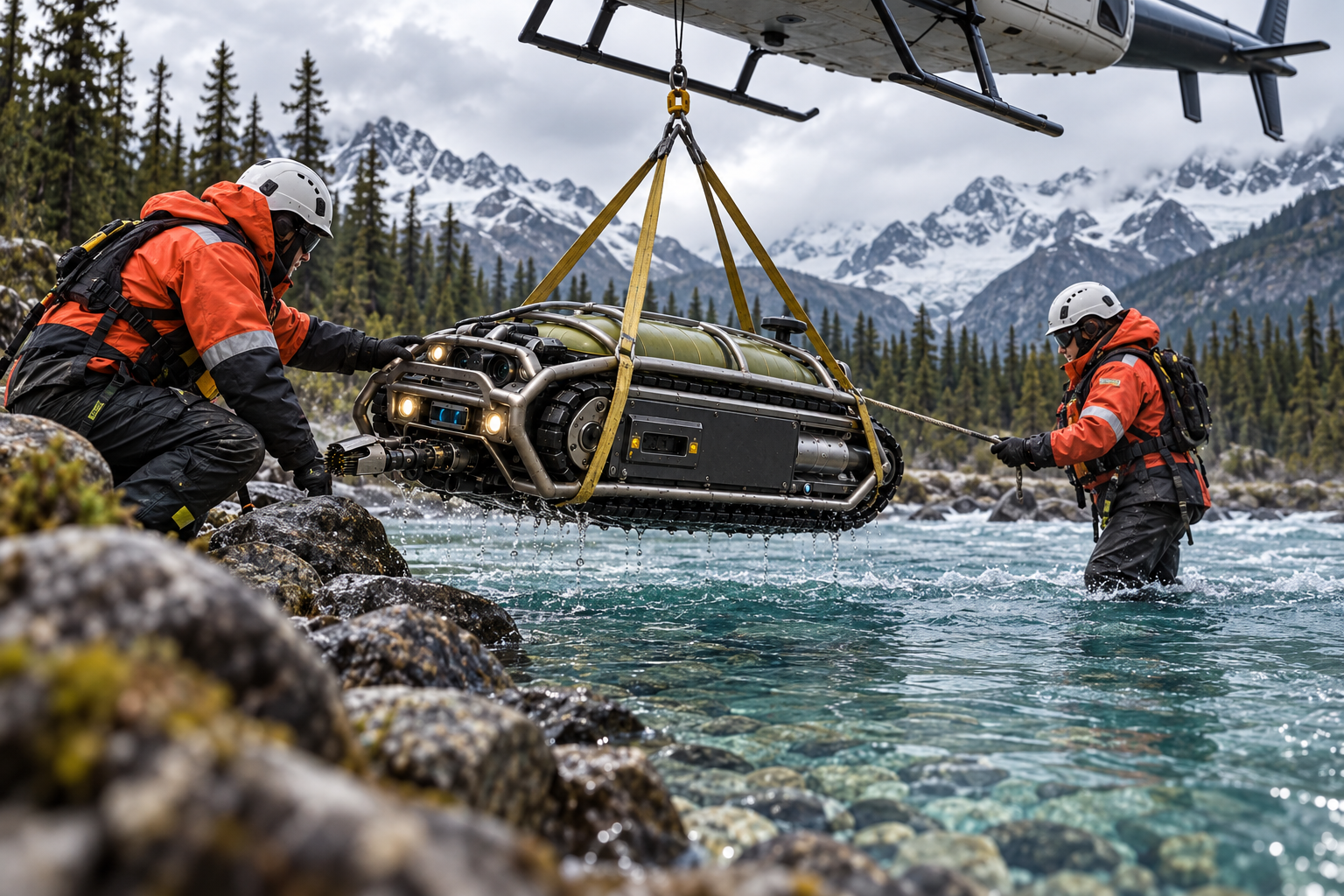
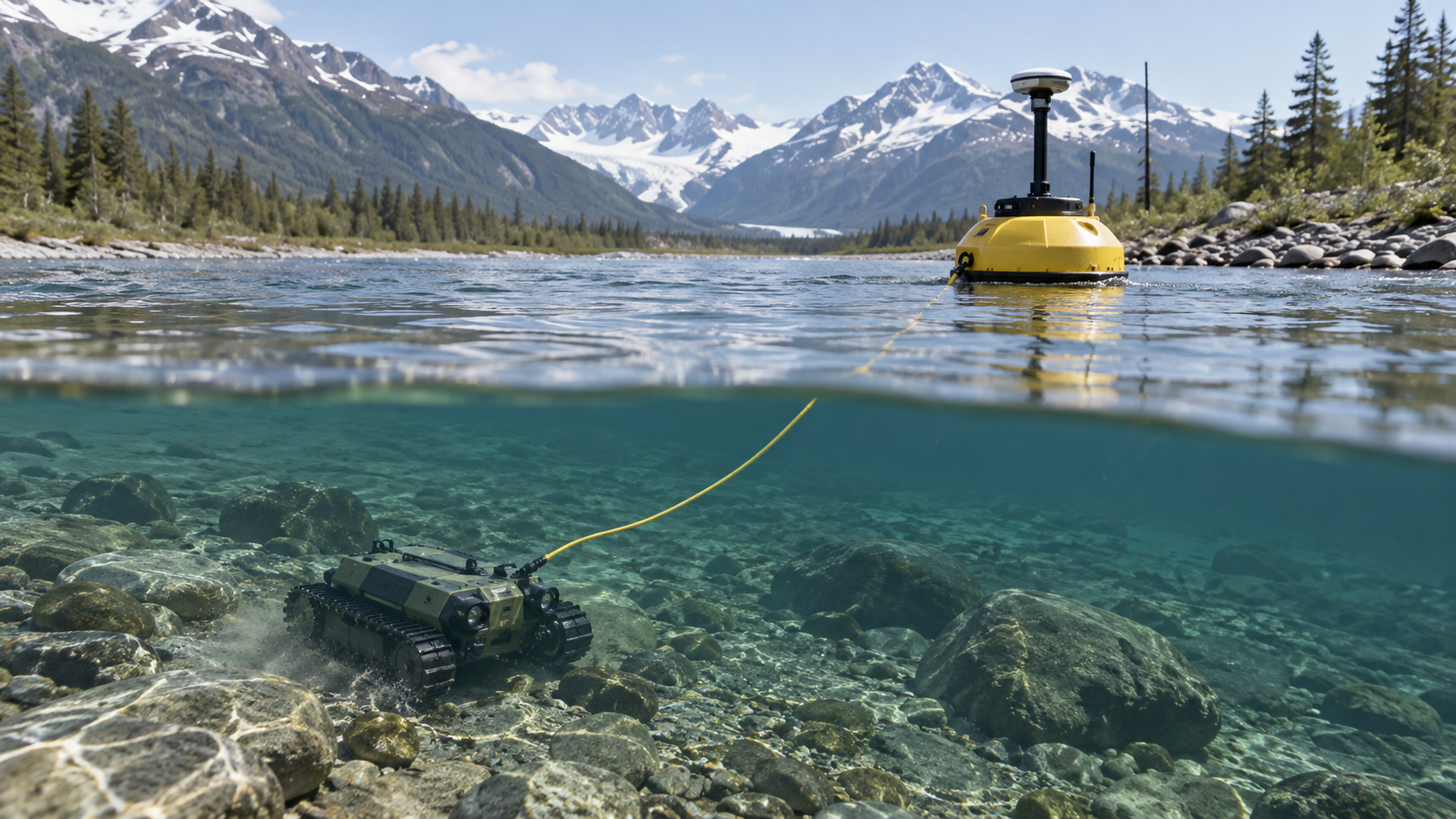
A crew establishes a launch point, surface GPS reference, water condition log, and recovery plan. The buoy carries the GNSS receiver because underwater GPS is unavailable; the tether and measured offset connect the surface position to the crawler.

  • Record coordinate uncertainty and tether geometry.
  • Start with a no-sampling survey pass.
  • Mark hazards such as logjams, culverts, powerline crossings, and deep scour.
Deploy and map

Survey and sample

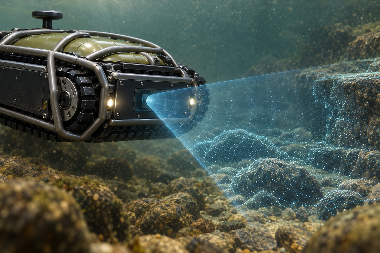
The robot builds a sonar-led local map, adds optical detail where water permits, and flags PI anomalies as conductive targets. It samples only inside a known envelope, assigns a cartridge ID, and stores synchronized sensor traces. The map is a record of where to return—not a declaration that gold was found.

Survey and sample

Recover and review

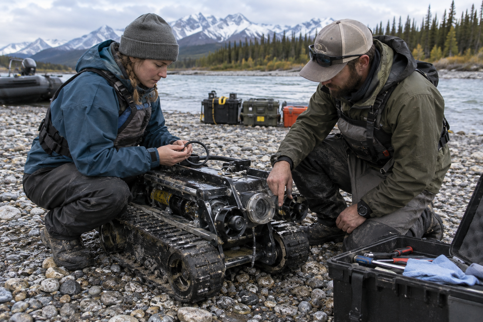
The crew retrieves the buoy and crawler, checks seals and leak logs, opens the locked tray, photographs retained material, and exports a mission bundle. A map of bends, depth, hits, and samples can guide a later human investigation and laboratory chain of custody.

Recover and review

Mission bundle and replay

A useful sortie leaves more than a rendered map. The bundle includes the route plan, surface GNSS track, tether geometry, underwater pose estimate, depth and turbidity series, sonar frames, raw and corrected camera frames, PI waveforms, pump/track currents, bladder pressure, cartridge IDs, operator annotations, and software/model versions. A replay tool should be able to show why the planner slowed, sampled, or aborted.

  • Immutable raw-data folder
  • Derived products with processing version
  • Operator review and exception log
  • Exportable CSV/JSON plus visual map

Environmental and operational limits

The field crew defines a maximum current, visibility, depth, temperature, debris, and tether-load envelope before launch. A logjam, culvert, rapid rise, entanglement risk, wildlife conflict, or loss of surface buoy is an abort condition. The robot is a research instrument, not a reason to enter unsafe water or disturb a protected site.

Launch gate
Permits, landowner approval, recovery plan
Abort triggers
Leak, over-current, tether fault, lost buoy
Data quality
Turbidity and pose confidence recorded per sample